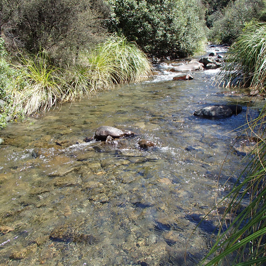
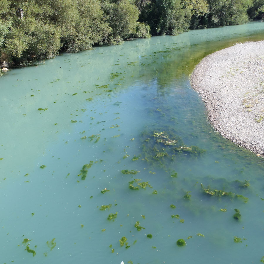
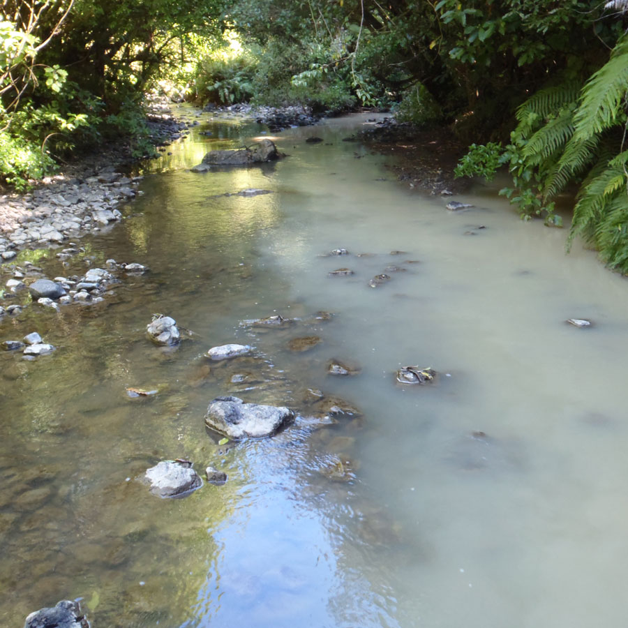
Sediment is a natural component of any waterway system, it is any broken-down material that has made its way onto our waterways, It’s the natural by-product of hill country erosion, weather, the shifting of waterways, and the consequent erosion of stream banks.
However, sediment needs to be managed as excess amounts lead to:
- Discoloured water that’s unattractive for swimming and recreation
- Clogged river bed with less room for insect habitat and fish spawning
- Reduced visibility for fish that need to see to catch food
- Reduced in-stream vegetation
- Clogged water supply intakes
- Water that’s unpalatable to stock
- Water requiring a higher standard of treatment before it’s suitable for human consumption
- A reduced carrying capacity of lowland flood control schemes
- Increase of other contaminants such as E. coli and phosphorus
Understanding sediment levels in the Manawatū Catchment and identifying areas that need attention can be achieved through monitoring of water clarity and turbidity. Water clarity is how clear the water is, while turbidity is how murky the water is. The level of cloudiness or haziness is caused by the amount of individual small particles suspended in the water. These indicators are monitored across the catchment. Find the most recent state and trends on the Land Air Water Aoteroa (LAWA) website.
In 2018 Accord member Horizons Regional Council commissioned Land Water People to conduct an independent region-wide review of water quality, download the full report with trend analysis here.
Te whakahaere waipara me te pūahoaho ā wai i te awa o Manawatū me ōna manga
Managing sediment and clarity in the Manawatū Catchment
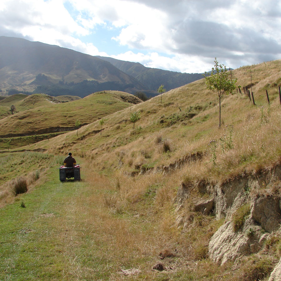
Erosion can have a major impact on sediment and clarity in our awa. Many things can be done to manage this, such as:
- Planting poplar and willow poles in erosion prone land. The root systems of these plants help to stabilise the land, reducing erosion and sediment run off from hills. The newly stabilised areas are also more sustainable for stock grazing and can be used as an emergency food supply during droughts.
- Retiring land and regenerating native bush in erosion prone land that has a higher risk of sediment running off into waterways. Through fencing off this land, planting, and allowing bush to flourish, sediment in the awa is reduced and habitat is created for native plants and animals to thrive.
- Planting riparian margins along our waterways. Riparian planting improves water quality, biodiversity and farming footprints in many ways. The root systems stabilise banks, reducing erosion and acting as a natural buffer that filters runoff and reduces sediment, E. coli and nutrients entering the water. As the plants grow they provide habitats for wildlife including birds and bees. The plants also create habitat for native fish by allowing undercuts to form under banks – creating hidey holes for fish to get away from predators. The plants create shade, which can lower water temperature and block sunlight, reducing the growth of algae and weeds and cooling and oxygenating streams which supports macroinvertebrates and other aquatic life.
One of the systems for applying these methods in the region is the Sustainable Land Use Initiative (SLUI). Led by Horizons Regional Council, with funding support from central government, this is the largest regional programme to address hill country erosion in New Zealand and involves working with landowners and other agencies to develop Whole Farm Plans. Through this programme farmers and landowners receive help to identify areas contributing sediment to waterways and expert advice and planning to reduce and mitigate this risk. Through monitoring, Horizons and Landcare Research have tracked the impact of the SLUI initiative. It has been modelled that even if work stopped in 2018, by 2043 the work already completed will lead to an 11 per cent reduction in annual sediment load in the Manawatū Catchment. The programme continues to grow as more and more landowners get on board. So far, 166 Whole Farm Plans have been developed in the Manawatū Catchment.
Visit the Horizons’ website to find out more about SLUI and getting a Whole Farm Plan and take a look at the See Progress Page to see what’s happening in your area.
Ngā Rangahau me ngā rauemi
Research and resources
Manawatū-Whanganui Regional water quality state and trends 2018
An independent region-wide review of water quality by Land Water People, commissioned by Accord member Horizons Regional Council, released in 2018.
Quantifying sediment sources of floodplain deposits in the lower Oroua River using sediment fingerprinting
This study investigated the application of a sediment fingerprinting technique to quantify sediment contributions from a range of sources in the lower Oroua River floodplain.
SedNetNZ, SLUI and contaminant generation Part 1: Sediment and water clarity
This report documents the use of sediment modelling using SedNetNZ in the Manawatū-Whanganui region. The report provides an assessment of the impact of soil conservation work to date (and possible future work under the Sustainable Land Use Initiative) on sediment loads and water clarity. An updated assessment of the impact of climate change on sediment loads is also provided.
SedNetNZ, SLUI and contaminant generation Part 2: Nitrogen, phosphorus and E. coli
This report applies the results of Part 1 of this study to assess the impact of the Sustainable Land Use Initiative (SLUI) on phosphorus (P), nitrogen (N) and E. coli loads in the region’s rivers.
